- Sri Lanka urges Pakistan to reconsider India match |
- Centre of World Cup storm Mustafizur lands PSL deal with Lahore |
- BNP and Jamaat election camps vandalized in Gazipur |
- Dhaka requests UN rights office investigation into Hadi murder |
- Bangladesh establishes formal diplomatic ties with Grenada |
Gazipur Faces Alarming Ecological Decline, Study Warns

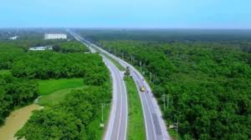
Gazipur, once known for its lush forests and abundant water bodies, is now facing severe ecological degradation, according to a recent study. Over the past two decades, unregulated urbanization and industrialization have led to the conversion of 60% of the district's forest land and 50% of its water bodies for other purposes.
The study, titled Environmental State of Gazipur District: Consequences and Excursion, was conducted by the River and Delta Research Centre in partnership with the Bangladesh River Foundation, Prokriti O Jibon Foundation, and the Bangladesh Environment Lawyers Association (BELA).
The findings are striking. Forest-covered land in Gazipur has plummeted by 59.51%, from 39,943 hectares in 2000 to just 16,174 hectares in 2023. Water bodies have also been severely affected, shrinking by 51.42%, from 11,462 hectares in 2000 to 5,568 hectares today.
Gazipur now has just 9.49% forest coverage and 3.27% water coverage—far below the standards of 20-25% forest cover and 7-14% water body coverage recommended for ecological balance.
The study points to a significant shift in Gazipur’s demographics: while the urban population has grown by 10.51%, the rural population has decreased by 2.05%. This migration is largely driven by the rapid expansion of industrial employment, which now engages 61.52% of the district's working-age population.
Industrial growth has surged in recent years, with the number of industrial areas more than doubling between 2000 and 2023. This expansion has intensified land resource contamination and led to widespread encroachment on both forests and water bodies.
In 2000, Gazipur’s land use was as follows: 23.44% forest, 6.73% water bodies, 50.21% settlements, 5.21% industrial areas, 10.21% agricultural areas, and 3.19% open space. By 2023, these figures had dramatically shifted. Settlement areas now cover 65.83% of the district, and industrial areas have risen to 8.73%. Meanwhile, forest coverage has shrunk to 9.49%, water bodies to 3.27%, and agricultural land to 11.92%.
Over the last two decades, Gazipur has lost approximately 23,769 acres—more than half—of its forest cover due to unchecked development. Its rivers, canals, and wetlands, which are vital for both the local ecosystem and economy, are now under severe threat from pollution and encroachment.
The study identifies 247 major encroachment sites and 161 active pollution points in key water bodies such as the Turag, Labanda, Tongi, Mogor, and Chilai rivers. The Turag River, for instance, is heavily polluted with industrial runoff from the nearby Markas Beel, while the Labanda River is overwhelmed by waste, including plastic and industrial effluents. Mogor Khal, once a thriving waterway, has suffered 34 encroachment incidents, largely due to commercial activities and land filling.
Illegal brick kilns along the Turag River further exacerbate the situation, contributing to both pollution and encroachment. At the same time, traditional livelihoods such as fishing and farming are increasingly under threat.
The study calls for immediate intervention from both municipal and national authorities to address Gazipur's ecological crisis. It emphasizes the need for stronger environmental policies, better enforcement mechanisms, and urgent action to halt further degradation and restore the district's natural balance.
Without significant changes, Gazipur risks losing more of its vital ecosystems, further endangering its environment, economy, and the livelihoods of its people.

