- EC asks printing presses not to print election posters |
- Protect your votes, conspiracies still on: Tarique to voters |
- US ambassador warns of China's growing manufacturing dominance |
- PKSF, BARC join hands to boost agricultural research and growth |
- Govt Officials Barred From Backing ‘Yes’ or ‘No’ in Vote |
Govt Leveraging Modern Technology to Monitor Hill-Cutting
- Environment Advisor

Syeda Rizwana Hasan,
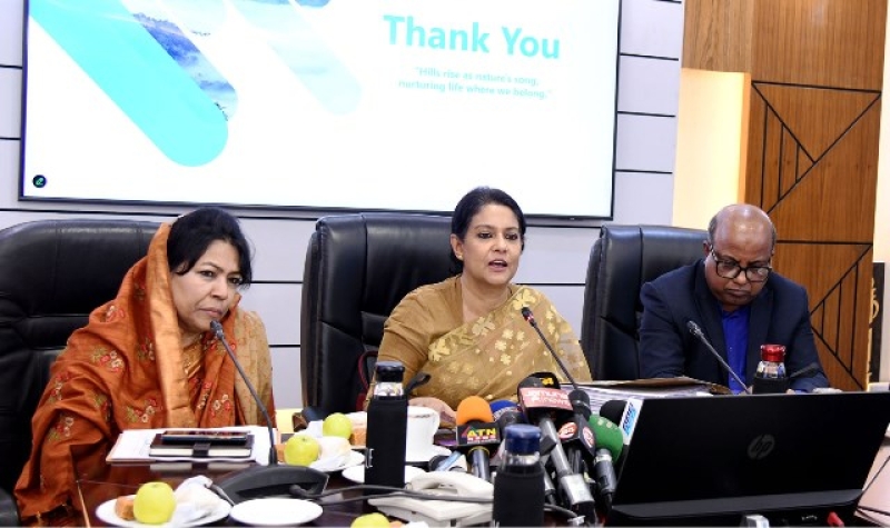
Dhaka, 15 January: Syeda Rizwana Hasan, Advisor to the Ministry of Environment, Forest and Climate Change, highlighted the government's initiatives to prevent hill and dune cutting by using modern technology. She made this remark while speaking at a progress review meeting on the Natural Capital Mapping project, held at the Ministry of Water Resources in the Bangladesh Secretariat today.
The project employs advanced tools, including high-resolution WorldView-3 satellite imagery with 30 centimetre resolution, to map and analyze the natural capital of hillocks and hilly regions. The Digital Terrain Model (DTM) refines these boundaries, while time-series analyses using Google Earth imagery (2004–2024) provide critical insights into the impact of hill-cutting activities on vegetation and terrain.
The Advisor emphasized that the initiative focuses on creating a comprehensive Land Cover and Natural Capital Map and developing Integrated Collaborative Forest Management Plans. This will enhance the sustainable management of natural resources like forests, wetlands, and rivers, which provide essential ecosystem services such as carbon storage, flood protection, and biodiversity conservation.
Rizwana Hasan also noted that the project estimates the extent of hill-cutting and disturbed areas in hectares, highlighting the importance of sustainable land use. Field surveys by GIS and Remote Sensing teams, in consultation with stakeholders such as the CHT Board, Regional Councils, and local communities, will validate the findings.
The project reflects the government's dedication to preserving Bangladesh’s natural heritage, ensuring informed resource management, and promoting sustainable development. - PID Handout

